A classic early winter storm paraded across the Pacific and slammed into the Olympic Peninsula on November 16 and 17. Given the storm track from the WSW, it was interesting to follow its impact on the rain shadow. Here is what it looked like approaching the coast on Wednesday morning.

It was pouring in Seattle when I left for Sequim on Wednesday November 16th at about 1PM; this is the chronology of how things turned out….
Things clear up east of Discovery Bay and there is a nice rainbow at about 3PM.

West of Discovery Bay, its blowing like crazy, but nice and clear….

At this time it was blowing just under 50 Mph out at the hein bank buoy…

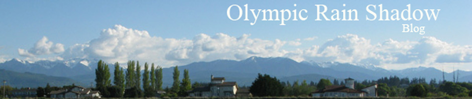
And its pretty nice in Sequim…; see fascinating blog post by Scott Sistek for a photo of Seattle’s dreary weather and a video from Keystone at this same time.

Overnight Wednesday night, some wild weather moved through. Someone told me the rain shadow weather station recorded a 39 mph gust, it rained quite a bit, as the cold front came in, and snow levels came right down close to sea level.
But the sunrise in Port Angeles was refreshing…

The sun in Port Angeles was relatively short lived….as little but a bright spot is visible from Ediz Hook, though the overnight snow on the hills is evident.

Heading to Sequim in the mid morning, the rain shadow was evident with peek-a-boo views of the higher Olympic mountains…

Finally, on the way back to Seattle, I took a detour through Port Townsend, where they too were benefiting from the rain shadow.

And somewhere between Kingston and Bainbridge, I turned on the windshield wipers.